Intro to Geographic Information Science Lecture
LBSocial |
38 videos |
Updated 1 year ago
Upon completion of this course, students are expected to
• Understand basic concepts and applications of GIS;
• Learn the different type of spatial data, including:
o Aerial photos;
o Census Tiger Data;
o Satellite image;
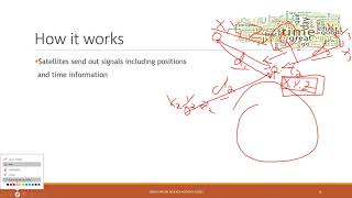
o GPS;
o LiDAR.
• Learn how to manage, edit and analyze spatial data;
• Design and create static or interactive maps in ArcGIS Pro and ArcGIS Online.
Labs: youtube.com/playlist?list=PLHutrxqbP1ByyYAbjx61pU6…